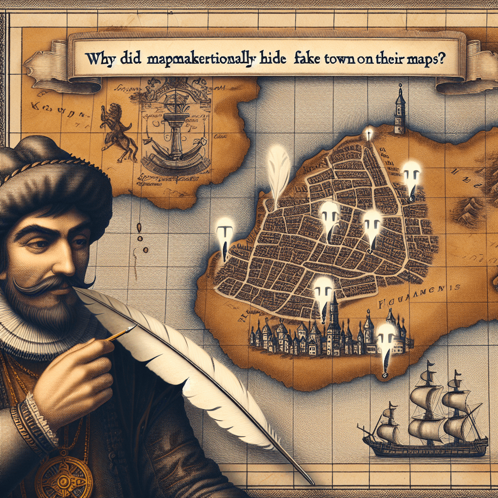
Why did mapmakers historically hide fake towns on their maps
It wasn't a mistake—for centuries, mapmakers have intentionally hidden phantom towns and streets on their maps as a brilliant and cunning trap to catch thieves.

Too Long; Didn't Read
TLDR: Mapmakers added fake towns and streets to their maps as copyright traps. These fictional places acted as a unique fingerprint to prove if a competitor had copied their work.
Copyright Traps and Ghost Towns: Why Did Mapmakers Historically Hide Fake Towns on Their Maps?
Have you ever looked at a map and taken its accuracy for granted? We trust maps to be an objective representation of the world, guiding us from one real place to another. But what if a map was designed to deceive you? For centuries, cartographers have deliberately included fictitious entries on their maps—phantom settlements, non-existent streets, and fake mountains. These are not simple errors but carefully laid traps. This blog post delves into the intriguing world of cartographic deception to answer the question: Why did mapmakers historically hide fake towns on their maps? The answer lies primarily in a clever and surprisingly effective form of copyright protection.
The Cartographer's Copyright Trap
Creating an accurate map has always been a monumental task. Before satellite imagery and GPS, it required extensive surveying, meticulous calculation, and artistic skill. This process was incredibly time-consuming and expensive. Consequently, a finished map was a valuable piece of intellectual property, and cartographers were fiercely protective of their work. The biggest threat they faced was plagiarism—rivals who would simply copy their map and sell it as their own.
Proving that a map had been copied was nearly impossible. A competitor could always argue that they had simply conducted their own survey and arrived at the same, correct result. To combat this, mapmakers invented the copyright trap, also known as a "paper town" or "trap street."
The strategy was simple yet brilliant:
- Insert a Fiction: A cartographer would add a small, completely fictional element to their map. This could be a tiny town (a paper town), a minor street, a curve in a road that doesn't exist, or even an incorrect elevation for a mountain.
- Make it Obscure: The trap had to be subtle enough that a legitimate user wouldn't notice or be inconvenienced by it, but clear enough to be identifiable.
- Wait and Watch: The mapmaker would then monitor competitors' publications.
- Catch the Culprit: If a rival's map included the exact same fictitious entry, it was undeniable proof of plagiarism. The copier couldn't claim they independently "discovered" a town that never existed. This provided concrete evidence for a lawsuit.
The Curious Case of Agloe, New York
Perhaps the most famous example of a paper town is Agloe, New York. In the 1930s, Otto G. Lindberg, director of the General Drafting Company, and his assistant, Ernest Alpers, created a map of New York State. To protect their work, they created the anagram "Agloe" from their initials (O.G.L. and E.A.) and placed this fictional hamlet at a dirt-road intersection in the Catskill Mountains.
Years later, they found Agloe on a map produced by their major competitor, Rand McNally. It was the "gotcha" moment they had planned for. However, the story took an unexpected turn. When confronted, Rand McNally's lawyers argued that their map was accurate because Agloe had become a real place. It turned out that someone had seen Agloe on the General Drafting Company's map, believed it was real, and built a general store at that exact location, naming it the Agloe General Store. A fiction, created as a trap, had willed itself into reality. The case highlights the fascinating and blurry line between a map representing reality and shaping it.
Trap Streets in the Digital Age
While the era of paper maps has largely passed, the practice of creating copyright traps has not. Digital mapping companies like Google Maps and OpenStreetMap face the same challenges of protecting their vast and valuable datasets. Instead of paper towns, they use "trap streets" and other digital watermarks. For example, a street might be subtly misaligned, or a non-existent cul-de-sac might appear. If this unique "error" shows up in a competitor's data, it signals that the data was scraped rather than independently collected. In a world of big data, these digital fingerprints are more important than ever for protecting intellectual property.
Conclusion
The mystery of fake towns on old maps is a captivating glimpse into the history of cartography. Far from being careless errors, these phantom places were intelligent weapons in the fight against intellectual property theft. They served as unique signatures, proving ownership in a field where originality was hard to defend. This practice reminds us that maps are not just passive reflections of the world; they are human creations, embedded with the stories, ingenuity, and even the deceptions of their makers. So, the next time you consult a map, digital or paper, take a moment to appreciate the hidden layers of history and human intent that might be lurking just beneath the surface.