Why did old maps show California as a separate island for over a century
It wasn't a simple error—it was a massive geographical lie that lasted for over 100 years. Discover the bizarre story of how a fictional paradise convinced the world's best mapmakers that California was an island.

Too Long; Didn't Read
TLDR: A popular Spanish fantasy novel described a mythical island named California. When explorers mistook the Baja Peninsula for this island, the error was widely copied by European mapmakers for over a century, until overland expeditions finally proved it was a peninsula.
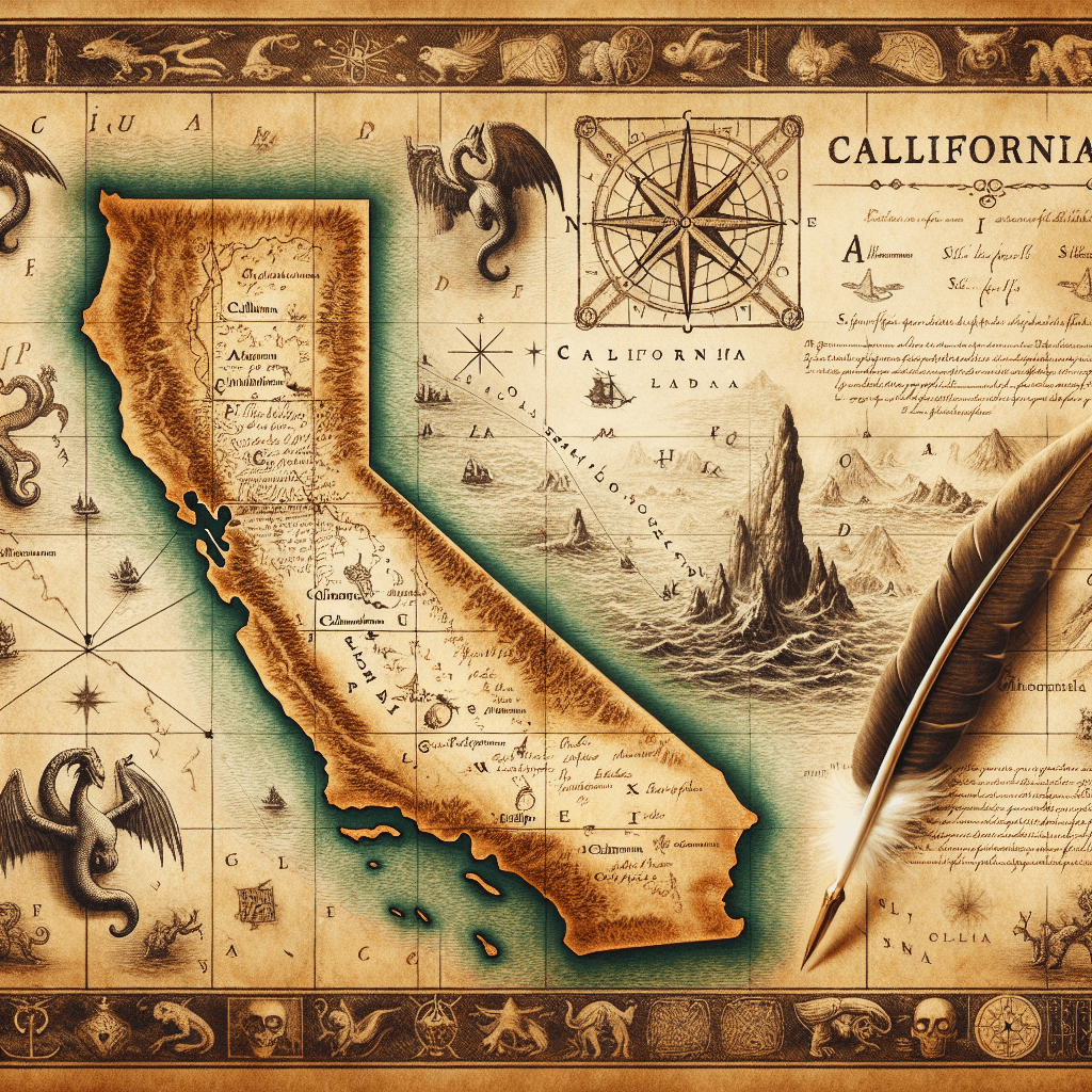
The Golden State as an Island? Why Old Maps Showed California as a Separate Island for Over a Century
Have you ever looked at an antique map and noticed something glaringly wrong? For over 150 years, one of the most prominent features on maps of North America was a massive cartographical error: California was depicted not as a peninsula, but as a vast island. This wasn't a fringe theory; it was the accepted wisdom printed by the most respected mapmakers across Europe. This fascinating mistake offers a powerful glimpse into the world of early exploration, the spread of information, and the stubborn persistence of a good story. This post will journey back in time to uncover why California was an island on paper for so long, exploring the myth's origins, its widespread acceptance, and the determined efforts it took to finally reattach it to the mainland.
From Peninsula to Island: The Birth of a Myth
Ironically, the earliest Spanish explorers correctly identified California as a peninsula. Expeditions under Hernán Cortés in the 1530s charted the Gulf of California (then called the Sea of Cortés) and established its peninsular geography. So, where did the idea of an island come from? The answer lies in a combination of popular fiction and a crucial misinterpretation.
- A Fictional Origin: The name "California" itself comes from a 16th-century Spanish romance novel, Las Sergas de Esplandián, which described a mythical island paradise of the same name, ruled by Queen Calafia and inhabited by powerful Black female warriors. This fictional account primed the imaginations of explorers to see an island.
- The Fateful Voyage: The primary source of the error was a Carmelite friar, Antonio de la Ascensión, who chronicled Sebastián Vizcaíno’s 1602 expedition along the California coast. Based on his observations and misinterpretations of the local geography, Ascensión became convinced that the Gulf of California was actually a strait that separated California from the mainland. He argued passionately for this in his widely circulated accounts, believing it offered a strategic advantage for Spain.
How a Mistake Became "Fact"
Ascensión's writings, though inaccurate, were highly influential. In an age hungry for new information from the "New World," European cartographers were eager to update their maps. Without firsthand knowledge, they relied on written accounts from explorers.
Once the island theory appeared on a major map—notably a 1622 map from Amsterdam and Henry Briggs' influential 1625 map in England—it spread rapidly. Mapmaking was a competitive business, and cartographers often copied the work of their rivals to stay current. The "Island of California" became a standard feature on maps of North America throughout the 17th and early 18th centuries. This cartographic convention was reinforced for generations, as each new mapmaker simply reproduced the error from the last, creating a feedback loop of misinformation that was incredibly difficult to break.
Putting California Back on the Mainland
Correcting a century-old error accepted as fact was no easy task. The first definitive proof came from a Jesuit missionary and explorer, Eusebio Kino. Between 1698 and 1701, Father Kino led several arduous overland expeditions through the Sonoran Desert, reaching the Colorado River and proving conclusively that a land bridge connected California to the rest of North America. He even drew a map in 1701 titled "A Passage by Land to California."
Despite Kino's irrefutable evidence, the island myth persisted for several more decades. Old printing plates were expensive to change, and the romantic image of the island was deeply embedded in the European consciousness. The mistake was only officially and widely corrected after King Ferdinand VI of Spain issued a royal decree in 1747, declaring, "California is not an island." This, combined with further land expeditions by figures like Juan Bautista de Anza, finally compelled mapmakers to redraw the American West, permanently reattaching California to the mainland.
Conclusion
The story of the Island of California is more than a simple historical curiosity. It serves as a fascinating case study in how information—and misinformation—was created and spread in the age of exploration. It shows that maps are not just objective representations of the world, but are products of human knowledge, interpretation, and sometimes, error. This celebrated mistake reminds us that even the most established "facts" can be rooted in a blend of fiction, faith, and flawed observation. It highlights the slow but steady march of scientific discovery and the courage of explorers like Eusebio Kino, who literally walked the earth to set the record straight.