Why do fluffy clouds often have perfectly flat bases
It's no coincidence that fluffy clouds have ruler-straight bottoms; they're all forming along an invisible, perfectly flat line in the atmosphere.

Too Long; Didn't Read
TLDR: A cloud's flat bottom marks the specific altitude where rising warm air cools to the point that water vapor condenses into visible droplets. This condensation level is uniform, creating a flat base.
The Sky's Straight Edge: Why Do Fluffy Clouds Often Have Perfectly Flat Bases?
Have you ever gazed up at the sky on a sunny day and noticed the puffy, cotton-ball clouds floating by? They drift lazily, with billowing, lumpy tops that look like giant scoops of cauliflower. But if you look closely, you’ll often see something peculiar: their bottoms are almost perfectly flat, as if they were sliced off by an invisible knife. This isn't an optical illusion or a random coincidence; it's a beautiful demonstration of fundamental physics happening miles above our heads. This blog post will explore the science behind this phenomenon, explaining exactly why those fluffy clouds have such sharp, level bases.
The Journey of an Air Parcel
To understand a cloud's flat base, we first need to understand how a cloud is born. It all starts on the ground.
The sun heats the Earth's surface, which in turn warms the pocket of air directly above it. This warmer air is less dense and more buoyant than the cooler air surrounding it, causing it to rise, much like a hot air balloon. Meteorologists refer to these rising pockets of air as "air parcels."
As this invisible parcel of warm, moist air ascends, it encounters lower atmospheric pressure. With less pressure pushing on it from the outside, the parcel expands. This process of expansion uses up energy, which the parcel takes from its own heat. As a result, the rising air parcel cools down. This phenomenon is known as adiabatic cooling.
The Invisible Line: Reaching the Condensation Level
Here is where the magic happens. The cooling air parcel carries an invisible passenger: water vapor. The amount of water vapor that air can hold is directly related to its temperature—warmer air can hold more moisture than cooler air.
As our air parcel rises and cools, it eventually reaches a specific temperature known as the dew point. The dew point is the critical temperature at which the air becomes fully saturated and can no longer hold its water vapor in a gaseous state.
At this exact point, condensation begins. The water vapor changes into countless tiny liquid water droplets or ice crystals, which cling to microscopic particles in the air like dust, pollen, and salt. When billions of these droplets cluster together, they become visible to us as a cloud.
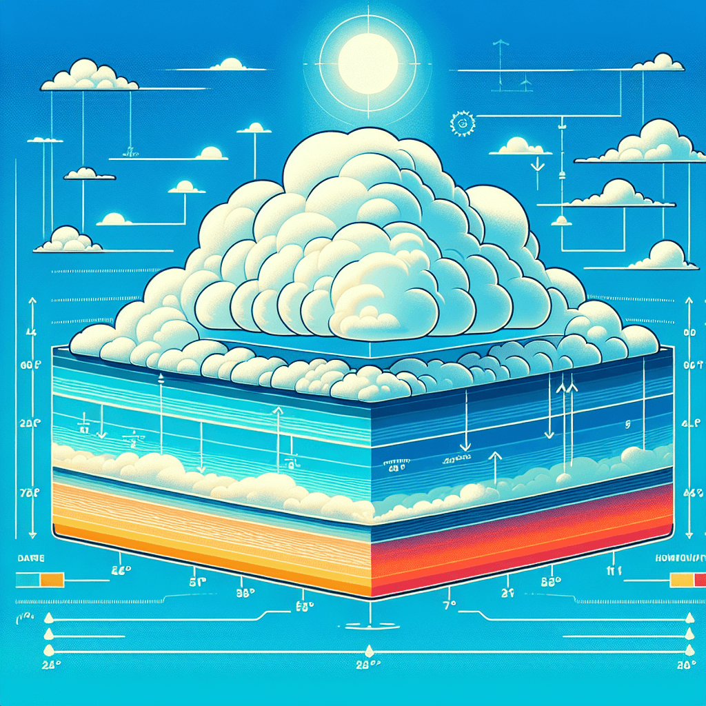
The altitude where this condensation begins is called the Lifting Condensation Level (LCL). Because the temperature and humidity conditions are generally uniform over a wide horizontal area at any given time, the LCL occurs at a consistent altitude. This creates a distinct, flat, and invisible "tabletop" in the sky. Any rising air parcel that crosses this line will begin to form a cloud, resulting in that perfectly straight base we see from the ground.
So, Why Are the Tops Puffy?
If the base is determined by a uniform level, why aren't the rest of the clouds flat?
Once the cloud base forms at the LCL, the air within the newly formed cloud is often still warmer and more buoyant than the surrounding air. It continues its upward journey, but this movement is far from uniform. It rises in turbulent plumes and currents, bubbling upwards like steam from a pot of boiling water. This unstable, churning motion is what creates the lumpy, puffy, and ever-changing tops of cumulus clouds. The flat base is the starting line, while the billowing top shows the dynamic journey of the air still rising above it.
Conclusion
The next time you look up and see a fluffy cumulus cloud with its perfectly flat bottom, you'll know you're not just seeing a cloud; you're witnessing a precise physical boundary in our atmosphere. That flat line represents the exact altitude where the invisible becomes visible—where rising, cooling air reaches its dew point and water vapor transforms into the liquid droplets that form the clouds we know. It's a striking reminder that even the most whimsical shapes in nature are governed by elegant and consistent scientific principles, painting a picture of atmospheric physics across the canvas of the sky.