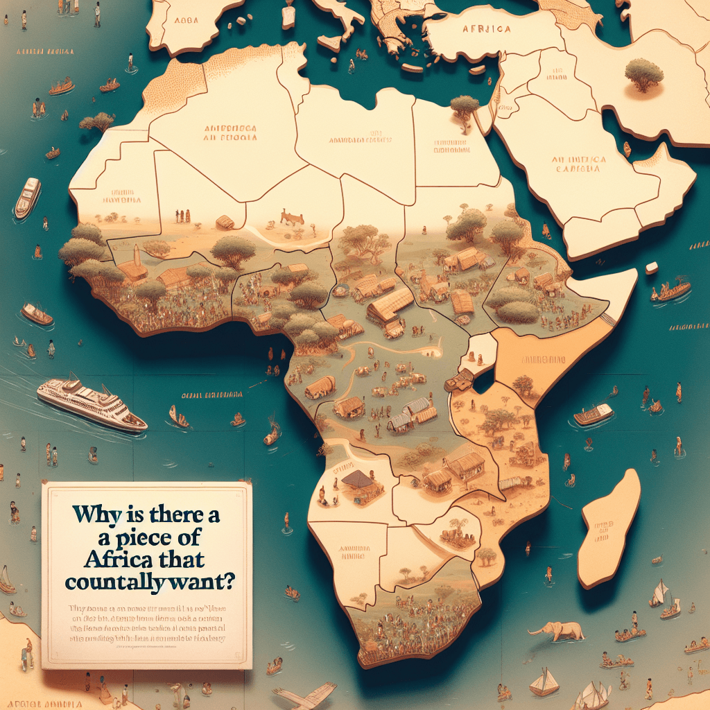
Why is there a piece of Africa that no country actually wants
In a world where nations war over territory, there's a piece of land in Africa so undesirable that two countries have spent over a century insisting it belongs to the other.

Too Long; Didn't Read
A desert region called Bir Tawil, between Egypt and Sudan, is unclaimed due to a colonial-era border dispute. Both countries want the nearby, more valuable Hala'ib Triangle. The historical border each nation uses to claim the valuable triangle legally forces them to give up Bir Tawil. To maintain their claim on the good land, both countries must reject the unwanted land.
The Unclaimed Land: Why Is There a Piece of Africa That No Country Actually Wants?
In a world where territory is a constant source of conflict and national pride, the idea of a piece of land that no country wants seems almost unbelievable. Yet, nestled between Egypt and Sudan lies a patch of barren desert that exists in a state of geopolitical limbo. This place is Bir Tawil, the most famous example of terra nullius—or "nobody's land"—on the planet. It's not a forgotten island or a remote arctic expanse, but an 800-square-mile (2,060 sq km) territory in Africa that is actively, and intentionally, left unclaimed by its powerful neighbors. This blog post delves into the fascinating colonial history and legal paradox that makes Bir Tawil the land nobody wants.
A Colonial Legacy: The Tale of Two Borders
The story of Bir Tawil is fundamentally a story about lines on a map, drawn over a century ago by British colonial administrators. The confusion stems from two different borders established for the region at the turn of the 20th century.
-
The 1899 "Political Boundary": In 1899, the United Kingdom, which held authority over the area, established a condominium to rule Sudan jointly with Egypt. They drew a border between the two territories that ran in a straight line along the 22nd parallel of latitude. This border placed a valuable, resource-rich area called the Hala'ib Triangle under Egyptian control, while the much smaller, arid, and landlocked Bir Tawil fell under Sudanese control.
-
The 1902 "Administrative Boundary": Just three years later, the British realized the straight-line border was impractical. It cut across the traditional lands of nomadic tribes. To simplify governance, they drew a new "administrative boundary." This new map gave Sudan administrative control of the Hala'ib Triangle because the tribes there were culturally closer to Khartoum. In exchange, control of Bir Tawil—which was grazing land for the Ababda tribe based in Aswan, Egypt—was given to Egypt.
This created a critical discrepancy: two official maps showing two different borders.
The Catch-22: Why Claiming Bir Tawil is a Losing Move
The heart of the issue lies in the adjacent, and far more desirable, Hala'ib Triangle. The Hala'ib Triangle is about ten times larger than Bir Tawil, has a coastline on the Red Sea, contains towns and villages, and is rumored to hold oil reserves. Both Egypt and Sudan desperately want to claim it.
This is where the paradox comes in:
-
Egypt's Position: Egypt insists on the original 1899 border (the 22nd parallel). This straight line gives them the prized Hala'ib Triangle. However, adhering to this border means they must concede that Bir Tawil belongs to Sudan. To claim Bir Tawil would mean accepting the 1902 border, thereby forfeiting their claim to Hala'ib.
-
Sudan's Position: Sudan, conversely, argues for the 1902 administrative boundary. This border gives them control over the Hala'ib Triangle. But to do so, they must accept that Bir Tawil belongs to Egypt. To claim Bir Tawil would be to accept the 1899 border, which would hand Hala'ib to Egypt.
Essentially, Bir Tawil is the booby prize. Whichever country claims it automatically weakens its legal argument for the far more valuable territory next door. As a result, both nations have abandoned any claim to this desolate piece of desert, making it one of the few truly unclaimed habitable land areas on Earth.
So, is it Truly Unclaimed?
While no sovereign state claims Bir Tawil, its status as terra nullius has attracted adventurers and idealists. Over the years, several individuals have traveled to the remote region to plant a flag and declare their own "micronation," such as the "Kingdom of North Sudan," famously established by an American man so his daughter could be a real princess. However, under international law, a claim to sovereignty requires recognition from other states and the United Nations, something none of these imaginative projects have achieved. For all official purposes, Bir Tawil remains without a country.
A Land Lost in the Lines
The story of Bir Tawil is more than just a geographical curiosity; it is a stark reminder of the long-lasting and often absurd consequences of colonial map-making. The arbitrary lines drawn by administrators a century ago continue to create unsolvable puzzles on the modern geopolitical stage. As long as the valuable Hala'ib Triangle remains in dispute, Bir Tawil will likely continue to exist in its unique state of limbo—a silent, sun-scorched testament to a conflict where the only winning move is not to play. It stands as a fascinating case study in how history, law, and national interest can conspire to make a piece of the Earth completely unwanted.