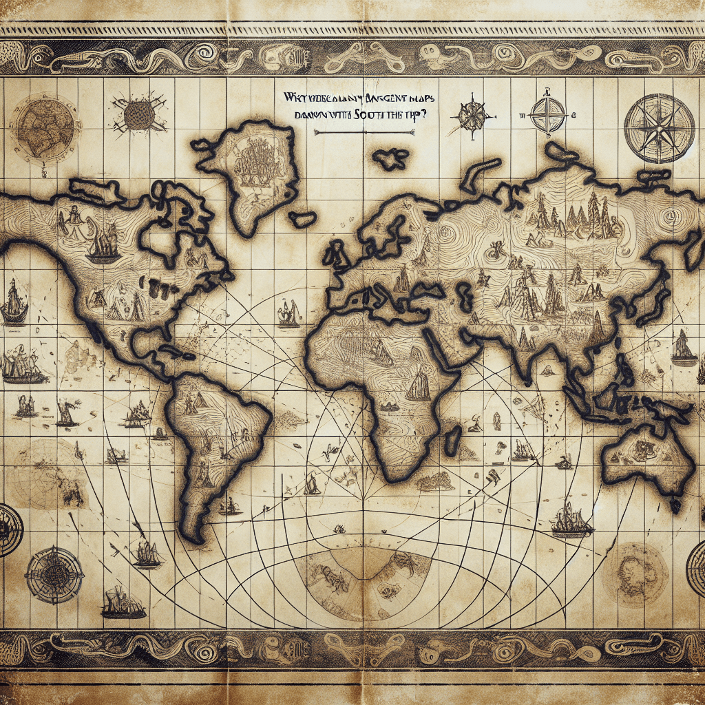
Why were many ancient world maps drawn with the South at the top
Putting South at the top of a map wasn't an ancient mistake; it was a deliberate choice that reveals a worldview we have almost completely forgotten.

Too Long; Didn't Read
There was no ancient standard for map orientation. South was often placed at the top for cultural or geographical reasons, such as Islamic maps orienting towards Mecca or Egyptians viewing the source of the Nile as up. The North-up convention is a relatively modern choice.
Turning the World on Its Head: Why Were Many Ancient World Maps Drawn with the South at the Top?
Have you ever stopped to think why North is always "up" on a map? In the vastness of space, there is no inherent up or down. Yet, our modern convention of a North-oriented globe is so ingrained that a map with South at the top looks jarringly "upside-down." This perspective, however, is a relatively recent standard. For centuries, many of the world's most influential and detailed maps placed the South at the top. This wasn't a mistake or a primitive error; it was a deliberate choice rooted in culture, religion, and geography. This post will explore the fascinating reasons why many ancient cartographers flipped the script and oriented their world to the South.
The North-Up Convention: A Modern Habit
Before diving into the southern perspective, it’s crucial to understand that our North-up standard is not a scientific necessity. While the Greek cartographer Claudius Ptolemy oriented his influential 2nd-century map Geographia with North at the top, this practice was not universally adopted for over a thousand years.
The "North is up" convention was largely solidified during the European Age of Exploration, from the 15th century onwards. There were two practical reasons for this:
- The North Star (Polaris): For navigators in the Northern Hemisphere, the North Star was a fixed point in the sky, making it an essential tool for determining direction.
- The Magnetic Compass: Invented in China but adopted and popularized by Europeans, the magnetic compass needle points to the magnetic North Pole.
Orienting maps with North at the top made them easier to use with these key navigational instruments, and as European cartography came to dominate, so did its conventions.
The World According to the Islamic Golden Age
Many of the most famous and scientifically advanced South-up maps originated from the Islamic world during its Golden Age (roughly 8th to 14th centuries). For these scholars and cartographers, a southern orientation made perfect sense for several interconnected reasons.
Religious and Cultural Prominence
The primary driver was religious. For the majority of the Islamic world—spanning from Al-Andalus (Spain) across North Africa, the Middle East, and into Asia—the holy city of Mecca lay to the south or southeast. By placing South at the top of the map, Mecca was positioned in a place of honor, "above" the rest of the world. This cartographic choice reflected the city's central importance in the Islamic faith. It was a visual representation of a spiritual worldview.
A Focus on the Known World
This orientation also had a practical, geographical basis. The centers of knowledge, trade, and civilization for these cartographers—cities like Baghdad, Cairo, and Cordoba—were located in what we now consider the "global North." A South-up map placed the most populous, economically vibrant, and best-understood parts of their world in the upper half of the map, giving them prominence. The less-known regions of Northern Europe and sub-Saharan Africa were relegated to the bottom.
One of the most celebrated examples of this is the Tabula Rogeriana, created by the Arab geographer Muhammad al-Idrisi for King Roger II of Sicily in 1154. This highly detailed world map, one of the most advanced of its time, is oriented with South at the top, clearly placing the Arabian Peninsula in a central, elevated position.
It Wasn't Just About North vs. South
The Islamic world wasn't the only culture to deviate from our modern standard. Other orientations were common, each reflecting the creator's worldview:
- East-Oriented Maps: Many medieval European maps, known as Mappa Mundi, placed East at the top. This is where the word "orient" comes from. This was a religious decision, as it positioned Jerusalem—the center of the Christian world—at the map's heart and placed the Garden of Eden, believed to be in the far East, at the top.
- Ancient Chinese Maps: While conventions varied, some ancient Chinese maps were also oriented with South at the top. This was often because the Emperor traditionally sat facing south, so the map was drawn from his perspective.
Conclusion: Maps as Cultural Artifacts
The convention of placing South at the top of a map is a powerful reminder that maps are more than just objective navigational tools; they are cultural artifacts that reflect the beliefs, priorities, and perspectives of the people who made them. The North-up orientation we take for granted today is the product of a specific history tied to European exploration and navigation. By studying ancient maps like al-Idrisi's Tabula Rogeriana, we not only learn about historical geography but also gain a deeper appreciation for how different cultures have viewed their place in the world. It challenges our own assumptions and encourages us to see the world, quite literally, from a different point of view.